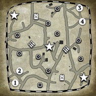
(2) Fields of Winnekendonk
Thanks for the help guys!
The map attempts to depict the settings that be British encountered just north outside of Winnekendonk the 2nd of March, 1945. The fight that ensued seems to be rather typical for several engagements during the operations Vertitable and Blockbuster. There wasn’t anything special about the events, I just happen to be raised in Winnekendonk, so…
Historical background
After taking Goch, the 2nd Canadian Corps was supposed to push through the Hochwald area and ultimately towards the Rhine at Wesel. The British XXX Corps was tasked to secure the right flank of the Canadians. After heavy fights in the triangle Goch-Weeze-Uedem, the 3rd British Division was to secure the villages of Kervenheim and Winnekendonk.
At this stage, the goal of the German defenders was merely to delay the allied advance in order to allow the troops a retreat to the bridgehead at Wesel.
On the 28th of February 1945, the British troops approached Kervenheim which was defended by elements of the 8th Fallschirmjäger division. The about 200 Jägers managed to delay the superior allied forces by two days before withdrawing towards Winnekendonk.
In preparation of operation Veritable, Winnekendonk was subject to a minor air raid on the 16th of February and then was heavily bombed on the 28th.
2nd of March, 1945
The following is a translation of the description found in “Der zweite Weltkrieg zwischen Rhein und Maas“ by Heinz Bosch.
[The farmer living at the Roghmannshof notes for the 2nd of March:] ”The last soldiers arriving here [after retreating from Kervenheim] didn’t look human anymore. They were dirty, tired, hungry and unshaved. The behaved accordingly. 40 men were supposed to dig in here to delay the enemy. They took up positions in the house and behind hedgerows. At the request of the Fallschirmjägers we hid in the basement. The street […] was blown up. We could hear the noise of artillery barrages and the MGs. The group of Fallschirmjägers then retreated towards the Plockhorsthof.”
[…]
The 9th Brigade, supported by the Ulster Rifles and the 3rd tank battalion of the Scots Guards reached the northeastern edge of Winnekendonk on the 2nd of May at about 3PM. In the fire of the Typhoons, the last pockets of resistance in the Berberheide were abandoned by the Germans.
The British were met with sudden defensive fire from positions at van de Flierdt, Büllhorsthof, Plockhorsthof and from the Kevelaerer Straße at Stammen. Under tank cover, the Lincoln’s infantry approached across the open ground and trickled into the northern part of Winnekendonk. The street from Kervenheim to Winnekendonk was blown up at several places to make it unusable.
Two English tanks exploded after several heavy hits. A German assault gun at Stammen was taken out by a direct hit. Another one picked up the partly wounded crew and withdrew towards Kevelaer and […] ran over a mine. […]
The fights lasted until nightfall. While Fallschirmjägers still fired their MGs at approaching infantry from the roof of Büllhorsthof, the first English entered the building below. Several tanks surrounded the farm, one of which being so close that its barrel reached into the entrance. The Fallschirmjäger were ultimately defeated in a close-quarters fight.
Fortunately, all 36 civilians that took refuge on the farm were unharmed. […] Corpses of fallen Jägers, English soldiers and civilians were scattered in the surrounding gardens. In midst of the fray a son was born to van de Flierdt’s.
In the following night, artillery shells continuously detonated in the devastated village. On the morning of the 3rd of March 50 to 60 tanks moved into the center of Winnekendonk. The following infantry found no resistance in the ruins. […] In the basements of the destroyed houses the Lincolns rounded up 200 demoralized German soldiers which were taken prisoner.
Map Overview
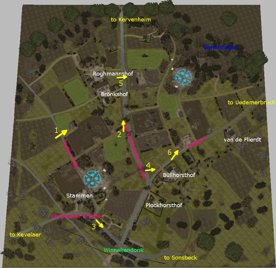
The image above shows the map with some annotations. The orientation is more or less with the top being North. Winnekendonk proper is on the lower boundary. The forest in the northestern corner is the Berberheide. The white text denotes the names of the farms (“Hof” means “farm”) or families that lived there. Street names (=”Straße”) are denoted in pink. The yellow letters indicate the cities or villages that the streets lead to.
Modern day Winnekendonk is significantly bigger than it was back then. Nowadays, the area north of Kevelaerer Straße is built up. E.g. my parent’s house is on the “Hoher Weg” (literally “High Way” not because it is a main street, but rather because it is actually higher than the surrounding fields because clay for bricks was dug up there), a bit further north than the southern base.
Also, a new “Hestert” street was built, starting on the Kervenheimer Straße at “Brönkshof” leading East along the route indicated by the field paths on the map.
The arrows denote (roughly) the view depicted in the photographs and screenshots below (click to enlarge). The colored photos were taken on the 3rd of March 2017, so to the day 62 years after Winnekendonk was finally secured by the British.
1: Shed in the field as viewed from the Hoher Weg with the Brönkshof in the background.
2: Kervenheimer Straße
3: Main street
4: Büllhorsthof
5: View from Kervenheimer Straße towards Berberheide
6: View from Hestert towards Berberheide
Map design
Visuals
The area is recreated roughly at a 3:1 scale. This also means that the farms and the roads are larger than in reality, which also means that I couldn’t really recreate the original layouts of the farm buildings. This would have been tricky anyways due to the limited amount of types of houses available in the world builder (in particular there are no brick-built farmhouses).
Brönkshof (center) and Roghmannshofs (upper left hand corner). The ditch snaking around the NW corner represents the Brönksley, a tiny creek that starts in the map area.
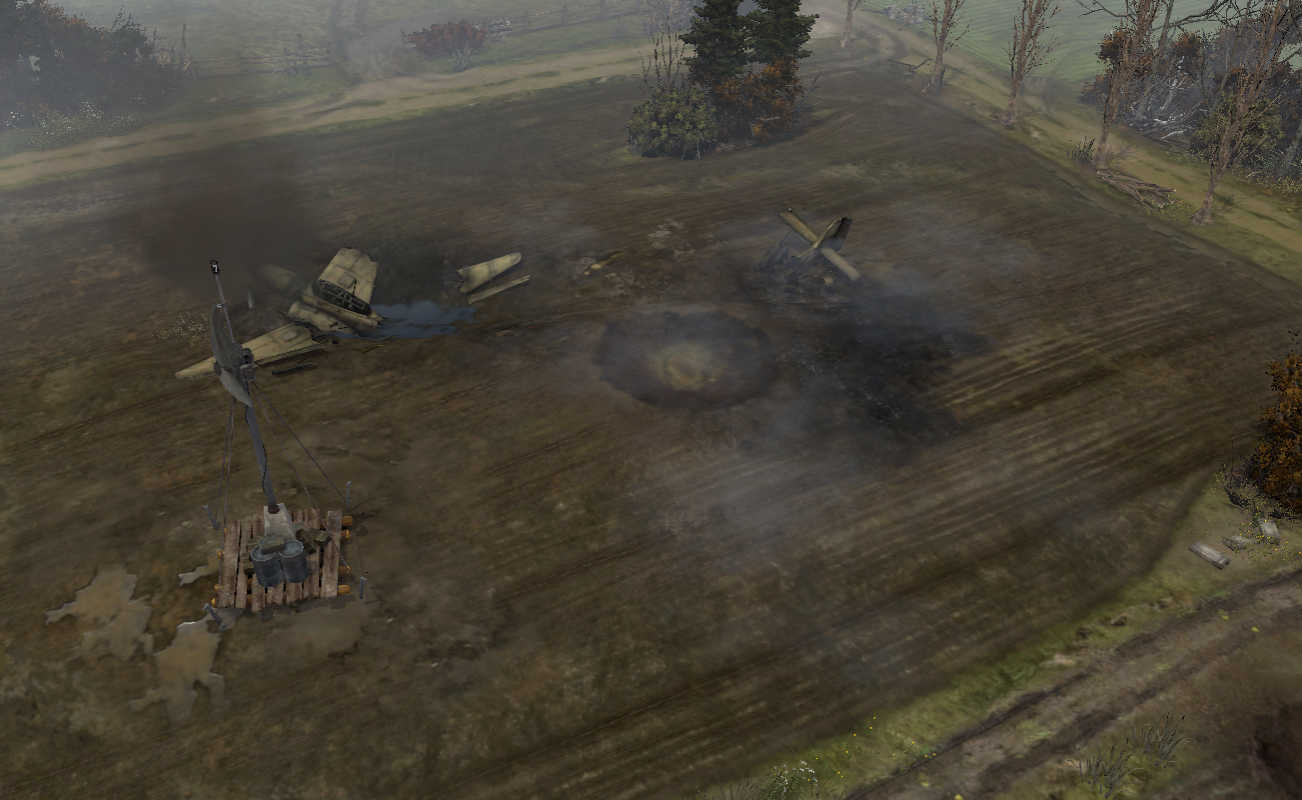
In terms of landscape I made an attempt to recreate the visuals of the area along the lower Rhineland which so far haven't been depicted well (at least from what I’ve seen): For starters, there are no real hills, with the exception of a few moraines like the ridge that features the well-known Hochwald gap. And there are certainly no outcropping rocks. It’s basically all sand and mud, mostly fields with a few patches of forest.
In order to allow for the typical long viewlines, I ended up with a probably unusually large “playable area”. Yet, I still needed to add some fog so that the edges of the map wouldn’t be overly obvious.
I couldn’t find historic aerial photographies, so don’t actually know how the layout of the fields was. It is likely, though that they probably would have looked similar to how they looked today, only subdivided into smaller units and with more bushes and trees on the edges.
Yet, in particular the German position at Stammen’s indicates that the area was probably more open than it is on the map.
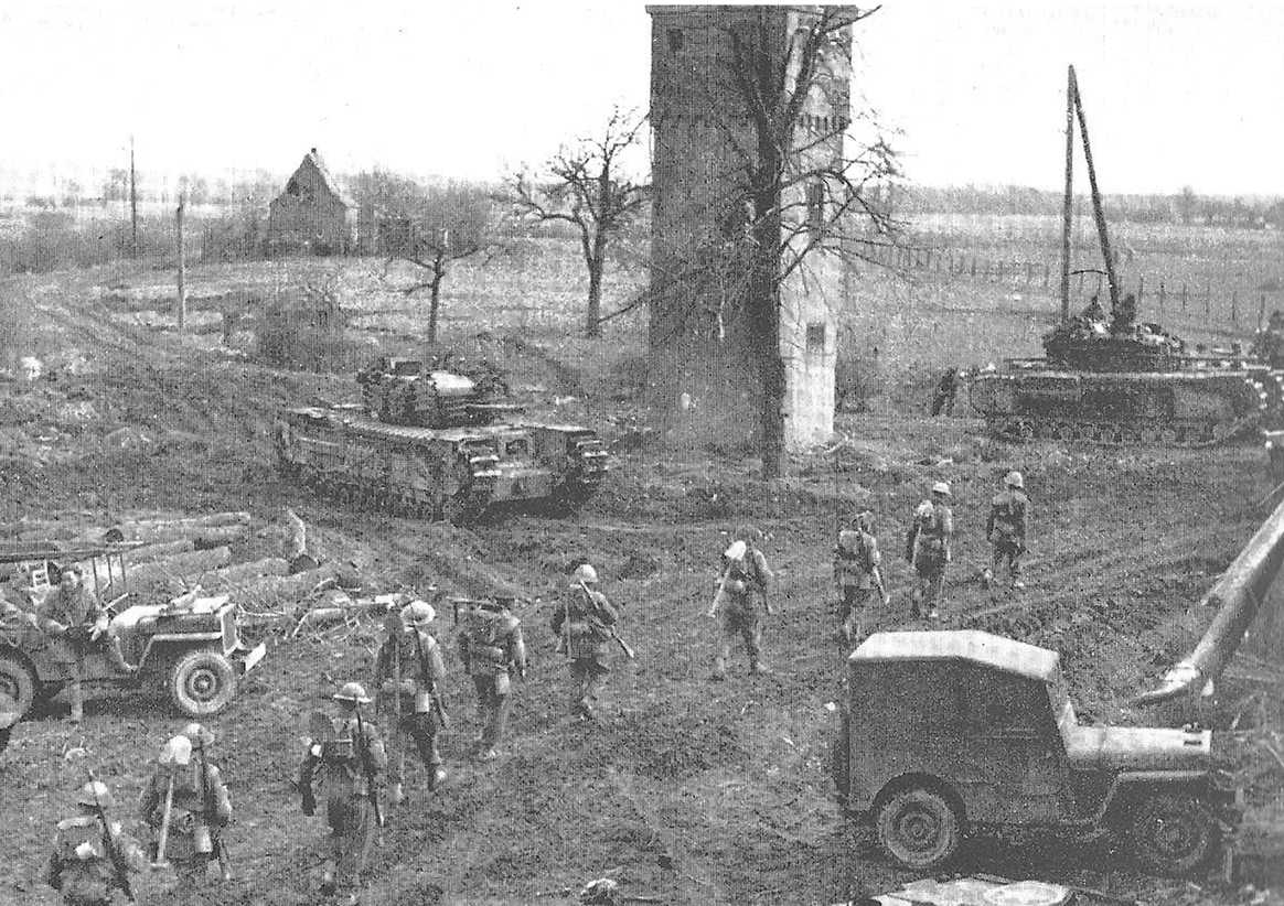
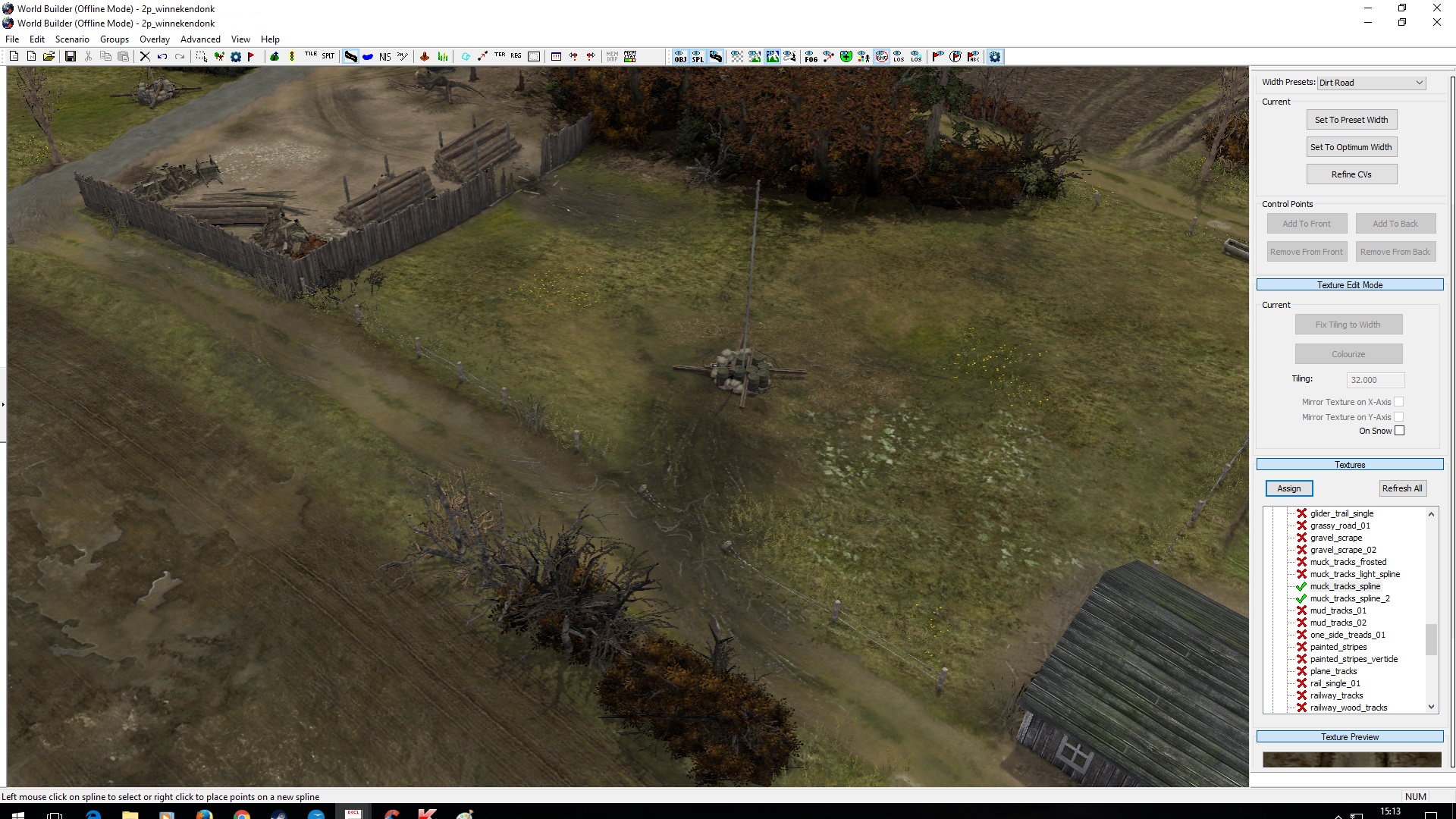
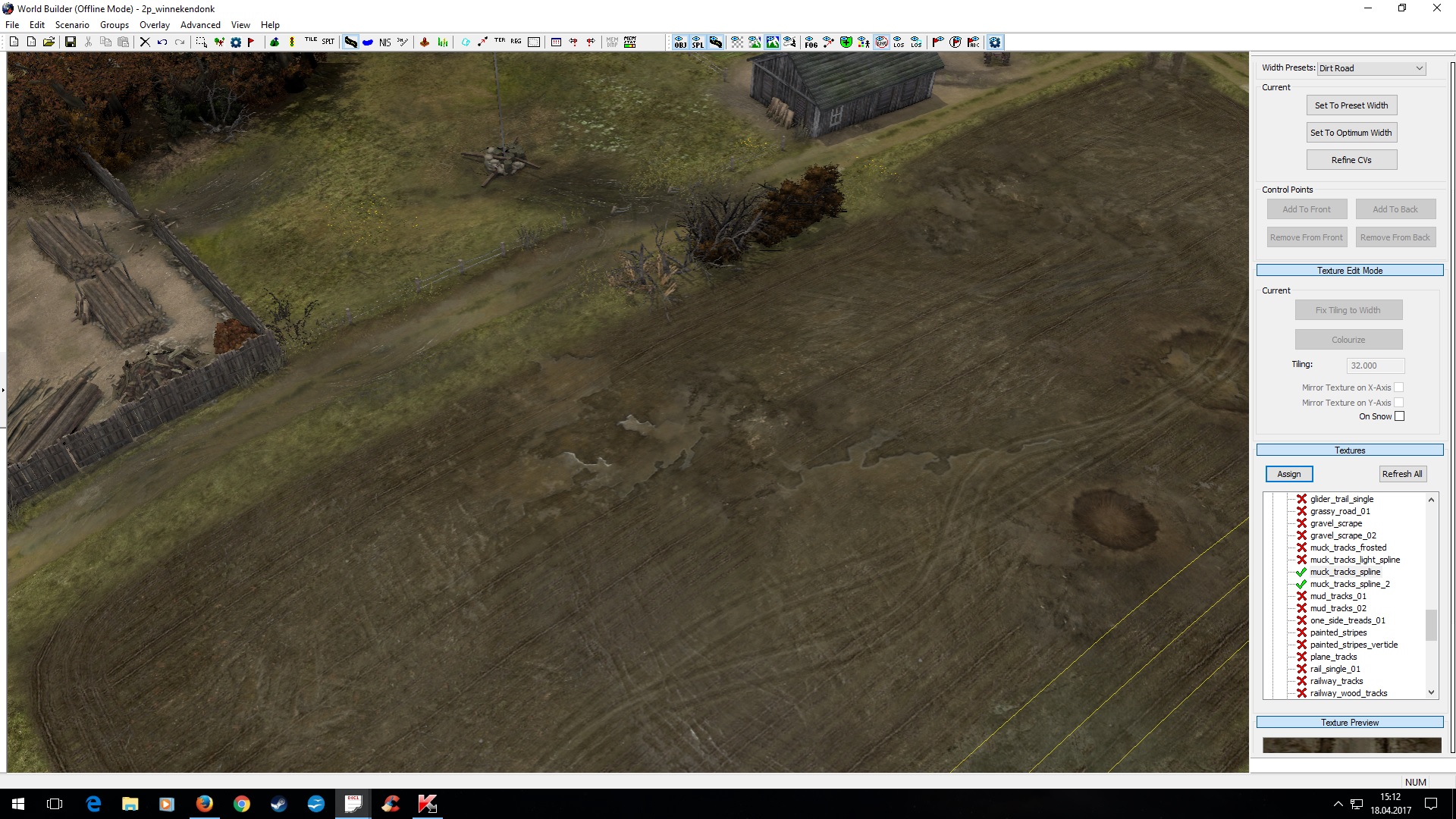
Vegetation also turned out to be a bit tricky: The winter versions of most trees/bushes are snow covered, but there was no snow as the historic pictures above show. Instead it was rather wet, to the point where using tanks was tricky as they got bogged down in the mud. So, I ended up using the few leaf- and snowless trees together with fall versions (there are a few trees that actually do keep their brown leaves) or green types for evergreens.
Gameplay
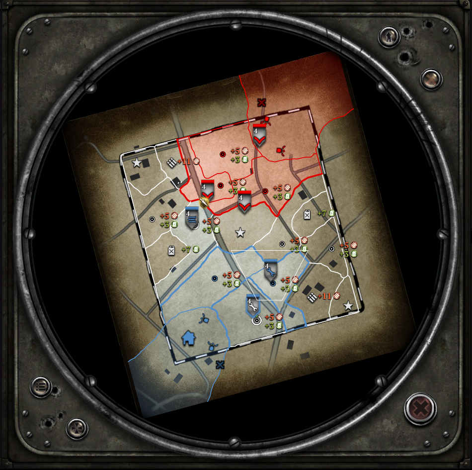
It was clear that the scenario would result in a fairly open map. To balance that, the farm houses at the edges produce some close-quarter dominated areas. Generally, there isn’t a lot of green cover, but lots of yellow cover.
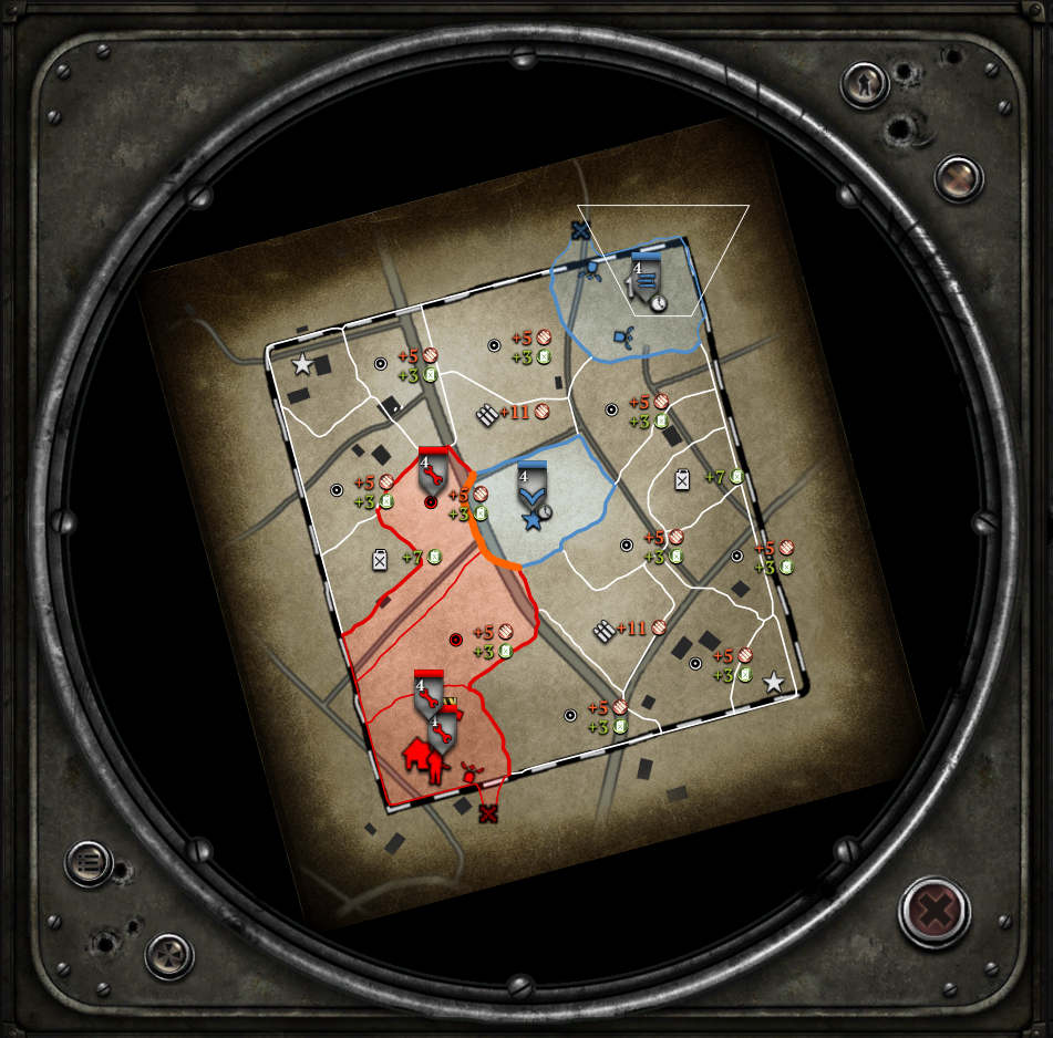
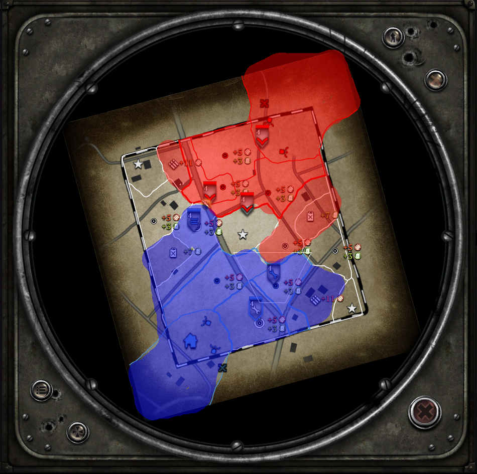
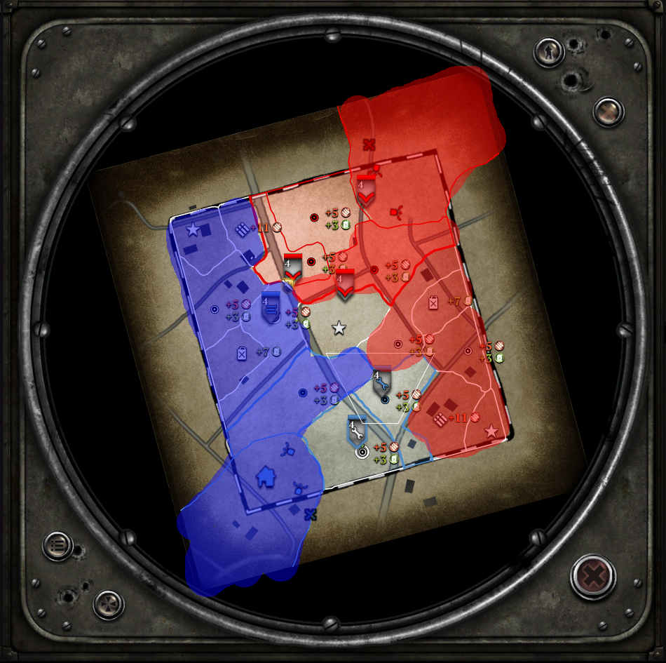
The open, central area doesn’t contain a lot of resources, but allows the player controlling it to put pressure on the munition points and the fuel cut-offs. In that way, the sector layout is a variation of what you have on Arnhem Checkpoint. However, there are several routes to flank the positions in the center, in particular the two fuel cut-offs.
There are a lot of fences, so vaulting helps. However, I broke them up at strategic points to allow for reasonable retreats. The street results in some red cover, but again the Germans conveniently blew it up (giving yellow cover) where retreats or attacks are likely to happen.
Otherwise I attempted to keep features more or less symmetric, albeit by different means: E.g., while there is a trench providing yellow cover in front of the western cut-off, there are craters in the same role for the eastern one.
Happy about any feedback!





 )
)


 cblanco ★
  보드카 중대
  VonManteuffel
  Heartless Jäger