I've been following the launch a bit. Turns out they created the entire world terrain with 3 methods:
1) hand-made stuff (models, meshes, and game-ized airports by 3d-designers/artists)
2) Aerial meshes created by flyovers (photography + LIDAR) that have been commissioned by Microsoft for their BING maps over the last many years. You will see these in the big popular cities in the West. I doubt they will get permission to do these in places like Russia or China.
3) satellite imagery on top of topography with AI generated buildings on top of that (this is probably 99% of the world and it looks average at best -- sometimes even ridiculously comical)
It's pretty fascinating technology.

And it's interesting that they decided to blend these 3 distinctly different methods together.


 Germany
 United States


")
")


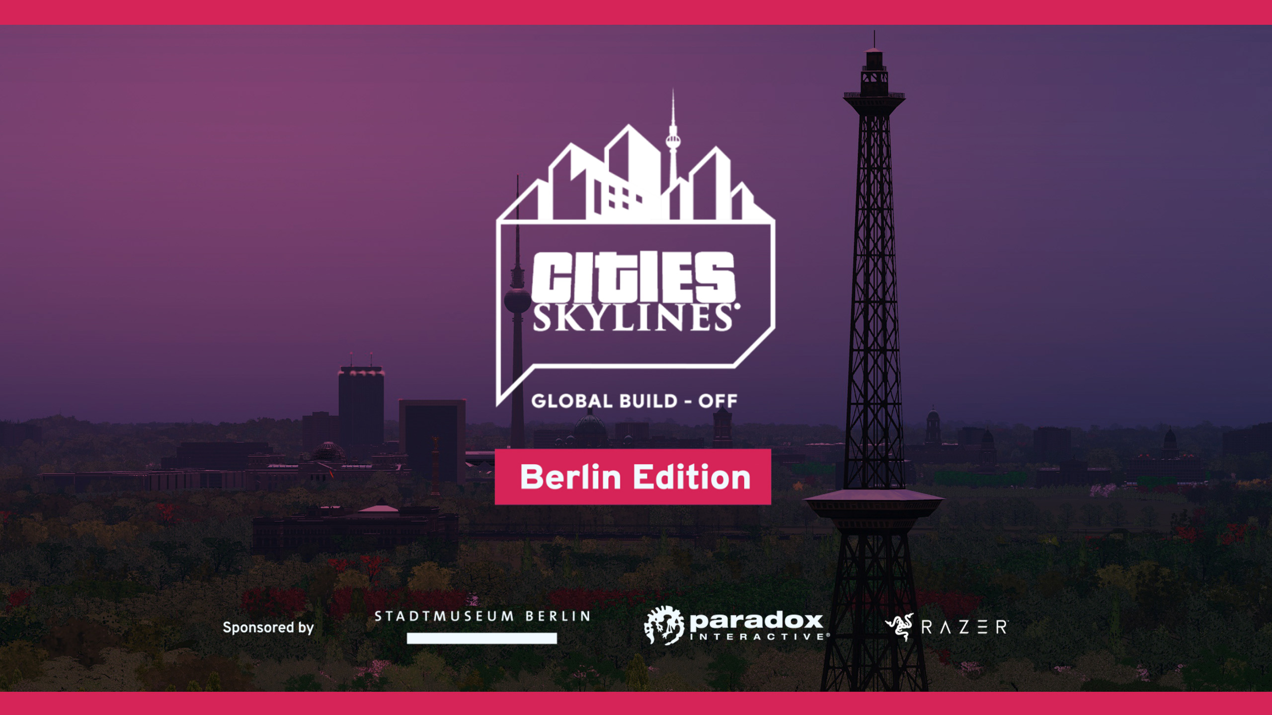
 It's co-sponsored by the City Museum of Berlin and Paradox Interactive. We have a 3,000 EUR Prize Pool + gear from Razer

 Theodosios
 Insane DevM
 NotBartonPL

 BartonPL