"We shall not fail or falter; we shall not weaken or tire. Neither the sudden shock of battle, nor the long-drawn trials of vigilance and exertion will wear us down. Give us the tools and we will finish the job."
- Winston Churchill
- Winston Churchill
It has been a little while, but the British Fronts Map Pack is back on the Steam Workshop! Wave 4 is upon us, with some of the most diverse maps yet! Revisiting some of the favoured locations from Company of Heroes 1, Wave 4 adds 4 maps to the fray.
For those of you wondering what took so long, the release of Wave 4 also brings about the beginning of a new era! After several years of releasing maps, my personal Steam Workshop has at last reached maximum capacity, and as such, all new maps will be released by a surprisingly charming bloke called ColossalGammon. No relation.
(4 - 6) Douvres-La-Delivrande
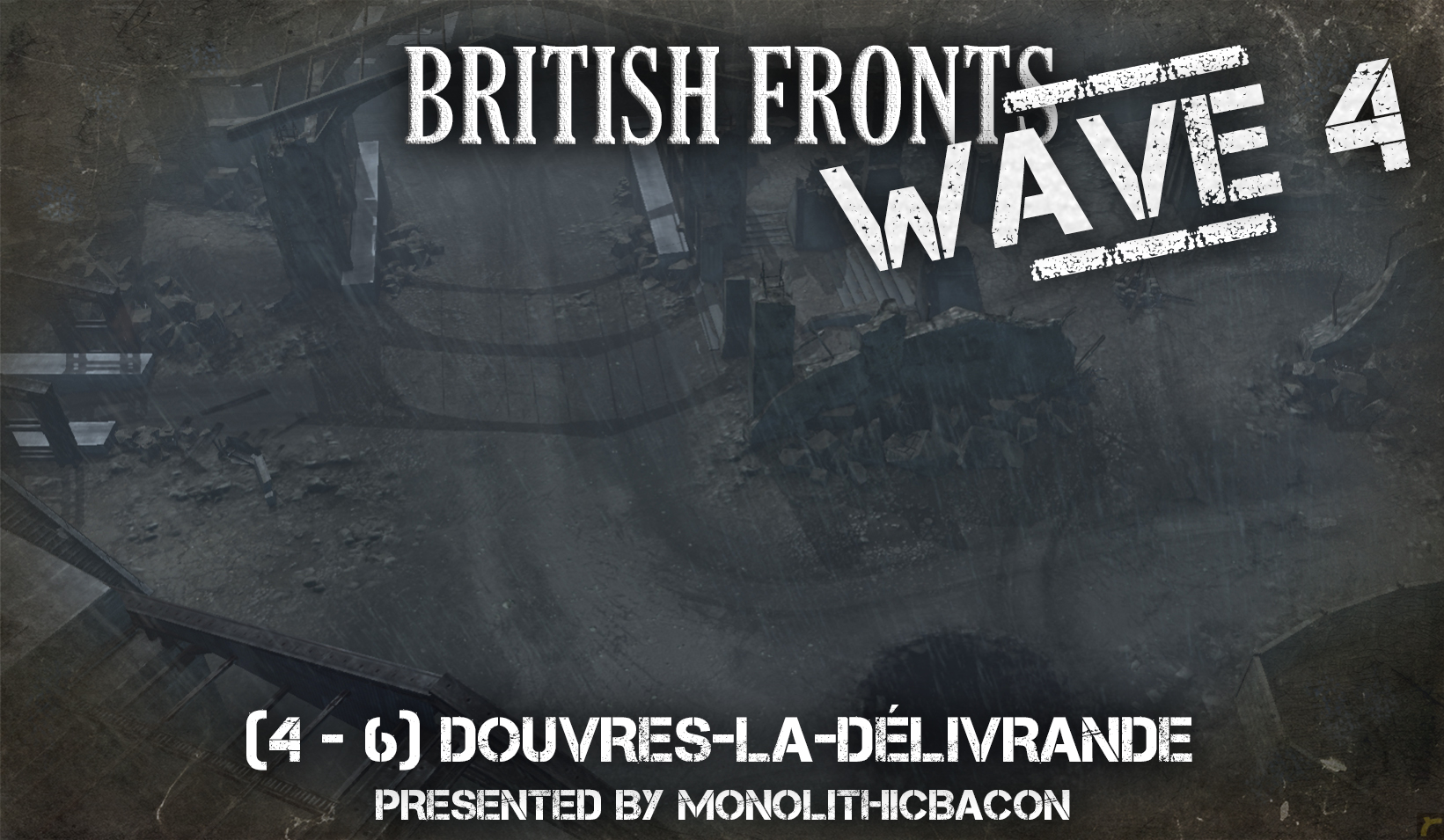
Although severely weakened by the Battle of Britain some four years before, the German Luftwaffe still maintained a strong a grasp over France and Western Europe, despite now being on the defence against British Bombing raids across the country. However, as Operation Neptune and the D-Day landings began, they were caught very much on the ground and under specific pressure. Seeing the importance of fortified facilities and radar stations in the outskirts of Douvres-la-Délivrande, the British 41 Royal Marine Commandos attacked such facilities through subterfuge and under the cover of darkness, ahead of the main Allied Forces. The capture of these highly defensible locations would blind German radar communication, and open them to further prejudice from the air.
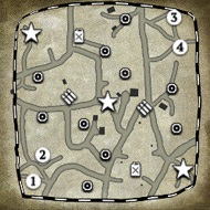
Minimap

(4 - 6) Operation Archery
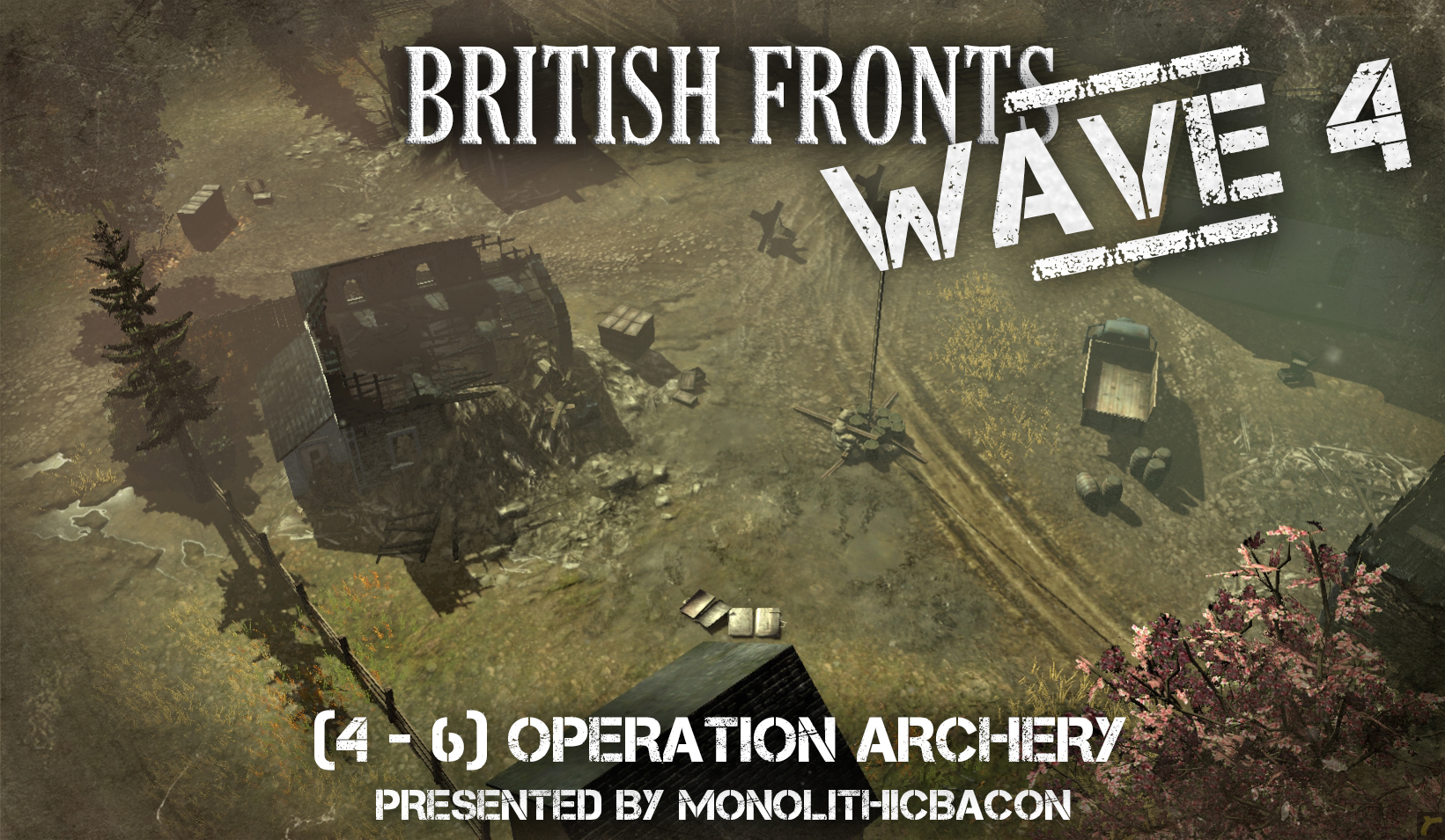
Early allied involvement in the war included Commonwealth and British forces protecting what were deemed as "local assets". Norway, particularly the islands surrounding its Western coast, were deemed as vital to the war effort. In December 1941, as the dead of winter began sweeping across Norway's rugged coast, Commandos of the British forces landed with the intention of taking strongholds under Wehrmacht control, recruiting members of the Norwegian Underground, and drawing enemy garrisons from the Eastern Front. In all, the conflict was sporadic, with several industrial installations destroyed and discord set amongst the enemy as snow began to fall.
Minimap

(6 - 8) Sword Beach
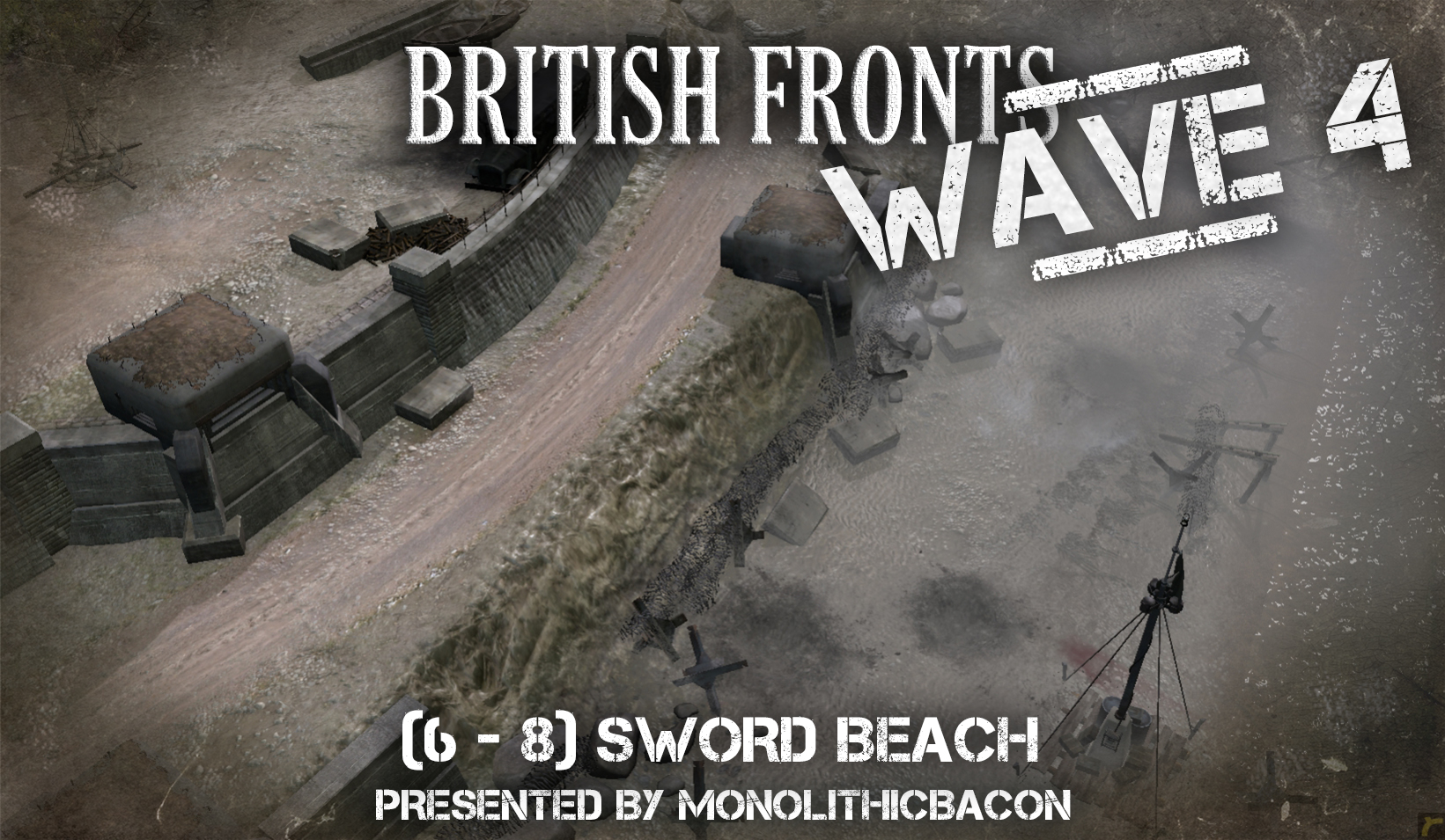
Supported by British and French Commandos on their eastern flank and by Canadian landings on their western side, over 25,000 men of the British Army assaulted Sword Beach during the Normandy Landings of June 6th. Sword Beach offered a considerably different conflict to that of Omaha and Utah Beaches however, as only small portions of the coastal defences were placed upon cliffsides, meaning that infantry and vehicles alike could rush across the flat beaches – albeit well-defended – without risk from natural barriers. This battlefield of wide sands, dense housing blocks and open fields was the gateway to some of the most famous battles in history, from Pegasus Bridge, to Villers-Bocage and the Liberation of Caen.
Minimap

(2) Westkapelle Inland
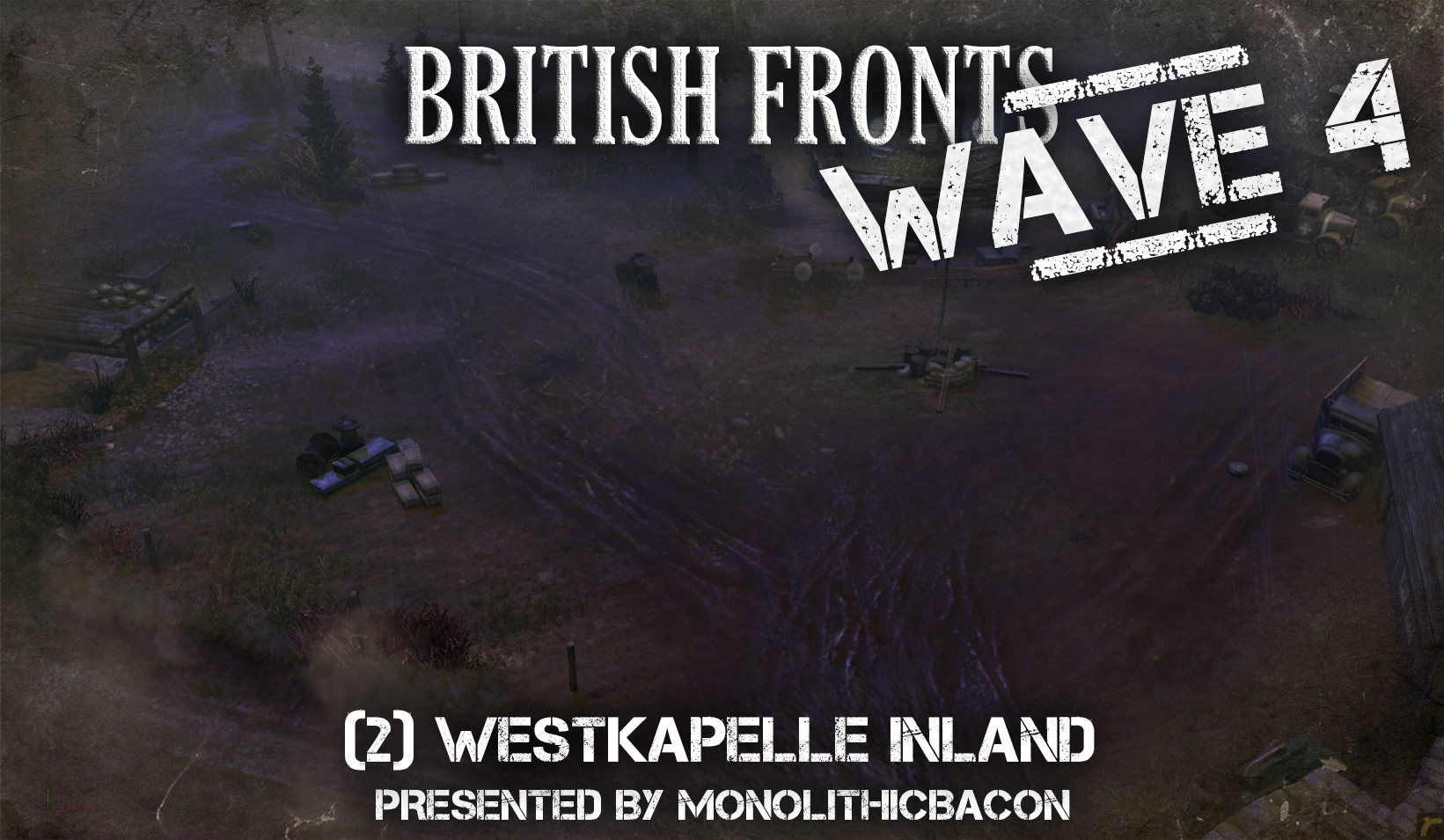
Walcheren Island in the Netherlands was a location of considerable importance during Operation Market Garden. This coastal fortress around Middelburg was saturated by bombardments of the RAF, but when Allied landings occurred, many of the Wehrmacht defences were still in place. Partially inland, Westkapelle's forests and roadways became the staging ground for hundreds of Allied soldiers and, providing they survived, would be the start of a long march inland. Far to the East, the British Black Watch and Canadian 4th Brigade were making their move, to meet these soldiers and secure the wedge between Axis forces.
Minimap

The British Fronts Map Pack
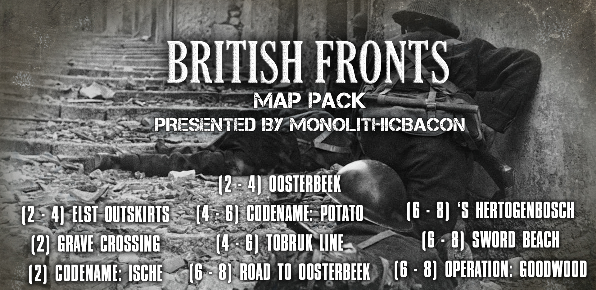
Check out the other maps in the British Fronts Map Pack,
and let us know what you think in the comments below!
and let us know what you think in the comments below!


 cblanco ★
  보드카 중대
  VonManteuffel
  Heartless Jäger